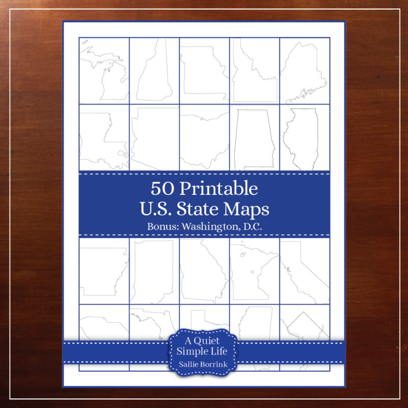
I’ve created this collection of 50 Printable U.S. State Maps plus Washington, D.C. to be a handy tool for homeschooling families. These maps can be used over and over again with all kinds of geography, history, and literature units. Each map includes a title line for accurately labeling the content displayed.
All of the states are available individually, but the savings is significant when you purchase the entire set. If you have The Lifetime Shopping Pass, you can download the easy-to-use maps with your personal coupon code.
I’ve included a sampling of the maps below. You can see all 51 of them in my shop under Maps.
Set of 50 State Maps and Washington, D.C.
New England
-
Massachusetts Map Printable$1.25
-
Maine Map Printable$1.25
-
New Hampshire Map Printable$1.25
-
Vermont Map Printable$1.25
Midwest
-
Wisconsin Map Printable$1.25
-
Indiana Map Printable$1.25
-
Ohio Map Printable$1.25
-
Michigan Map Printable$1.25
South
-
Louisiana Map Printable$1.25
-
North Carolina Map Printable$1.25
-
Georgia Map Printable$1.25
-
Alabama Map Printable$1.25
West
-
Washington Map Printable$1.25
-
California Map Printable$1.25
-
Arizona Map Printable$1.25
-
Montana Map Printable$1.25
Leave a Reply