I’ve gathered together videos, books, printables, and other resources for your George Washington unit study. I invite you to read through the ideas below and use the ones that fit your family’s needs.
I always encourage you to preview everything to make sure it is appropriate for your family. A few other suggestions:
- If you are new to learning with unit studies, you will find this post of mine helpful: How To Easily Create a Themed Unit Study.
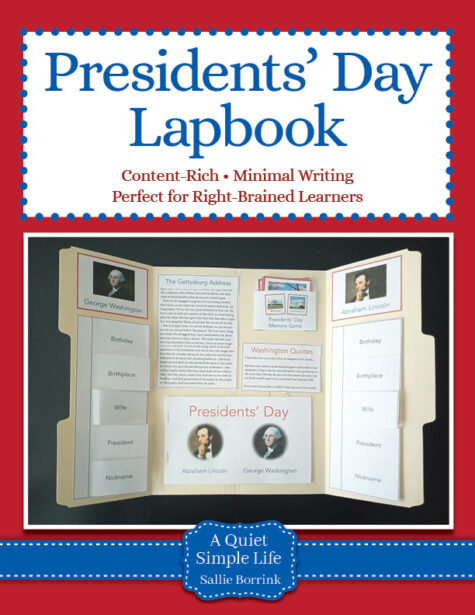
- If you are also looking for things specifically related to Presidents’ Day, I have an extensive post with a Presidents’ Day Unit Study.
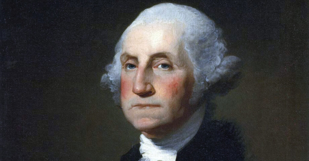
Mini Biography
Here is a short biography about George Washington, a central person in American history.
Mount Vernon Online Tour
The official Mount Vernon website has many resources for those who don’t live close enough to see the estate in person. It includes videos, pictures, and educational materials.
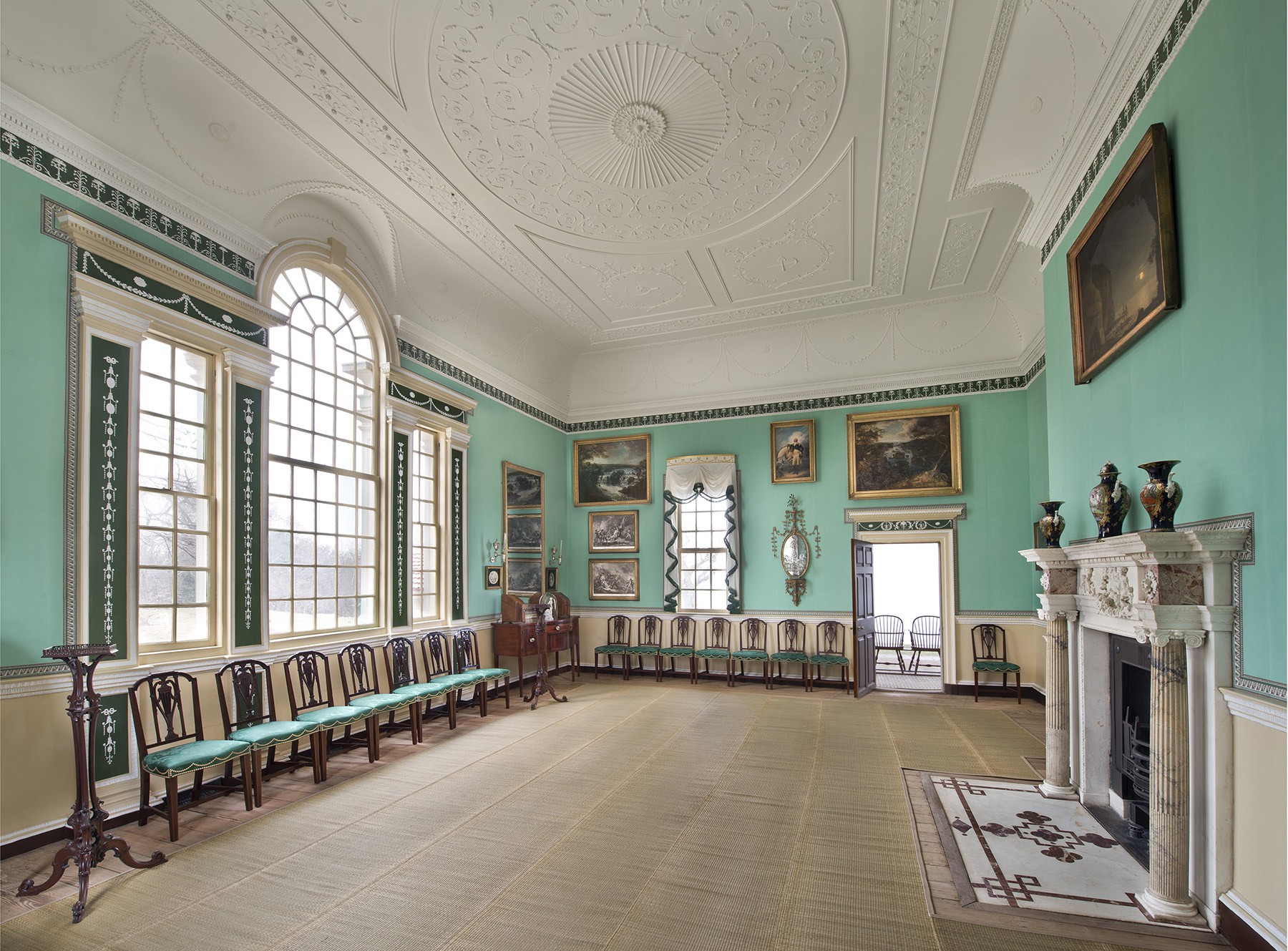 If you’d like to look at their online tour, they offer this.
George Washington’s Mount Vernon
This video is a more light-hearted look at aspects of Mount Vernon.
Washington Crosses the Delaware River
Short explanation of the Christmas Day crossing of the Delaware River
Washington Crosses the Delaware River: The 2020 Reenactment from the Friends of Washington Crossing Park
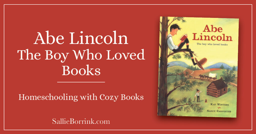
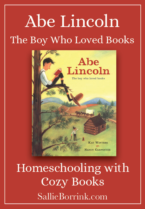
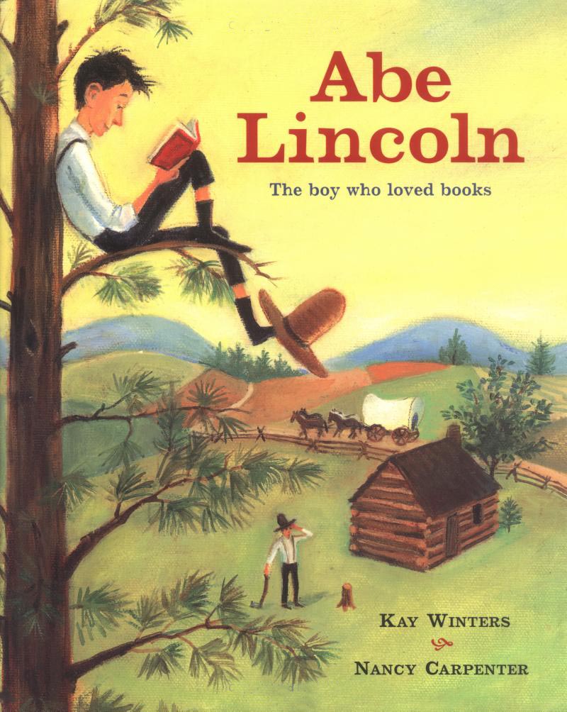
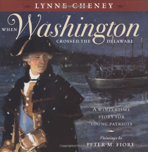
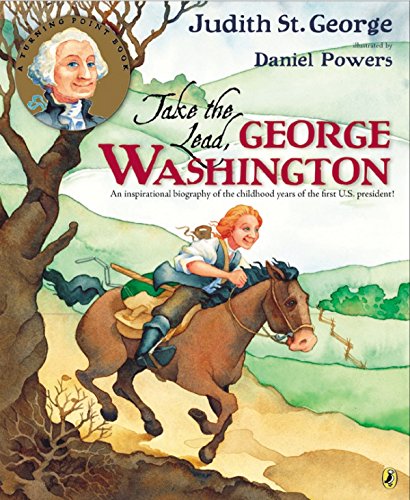
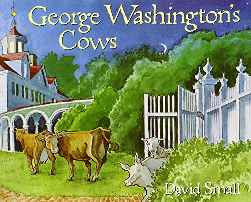
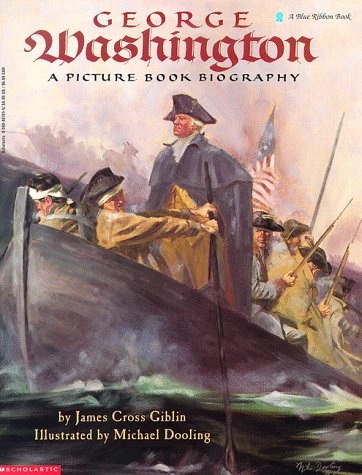
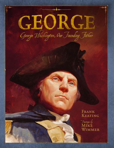
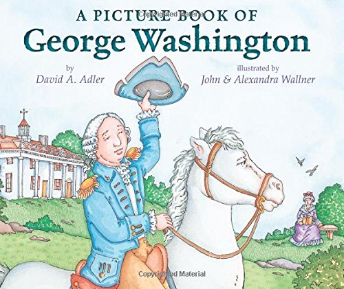
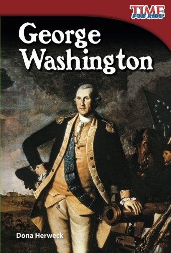
George Washington Picture Books
Learn more about George Washington from his boyhood through his presidency with these picture books.
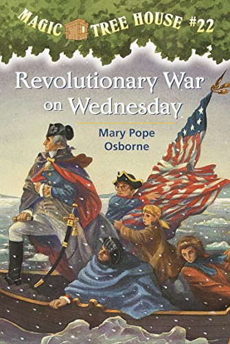
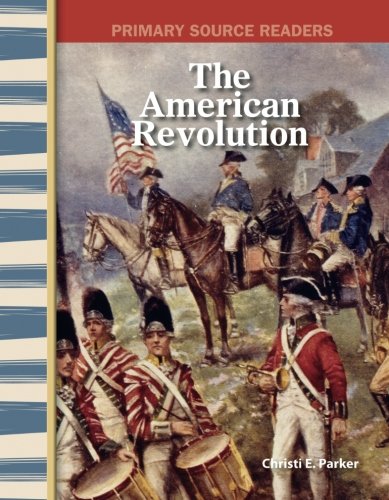
George Washington and the American Revolution
Learn more about Washington and the American Revolution.
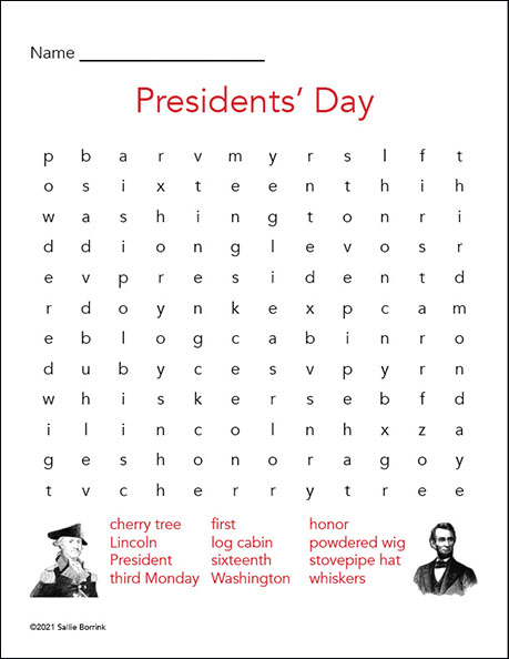
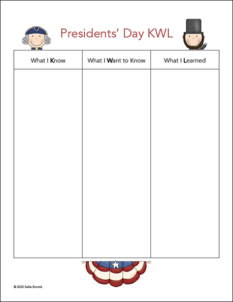
Washington Activities and Printables
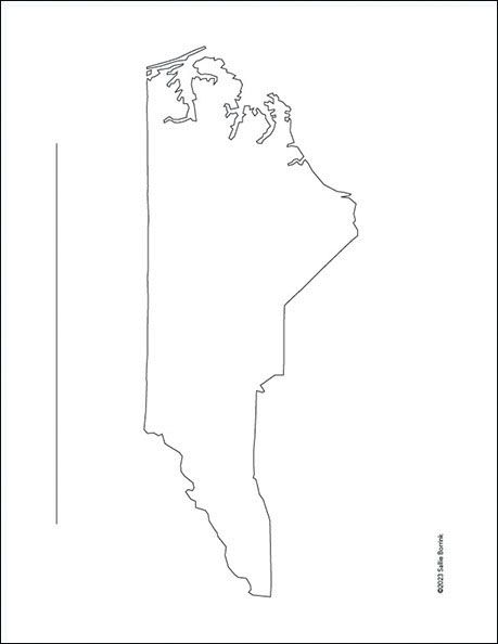
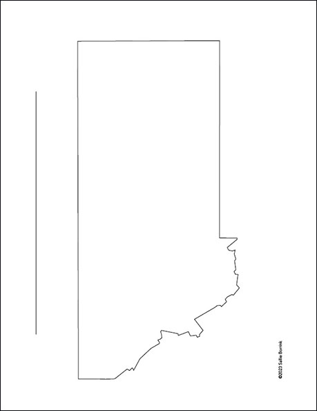
Geography – Use this map of Virginia to mark the places important to George Washington.
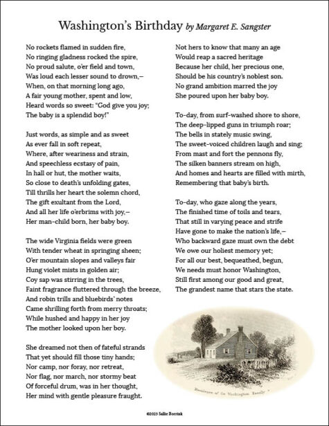
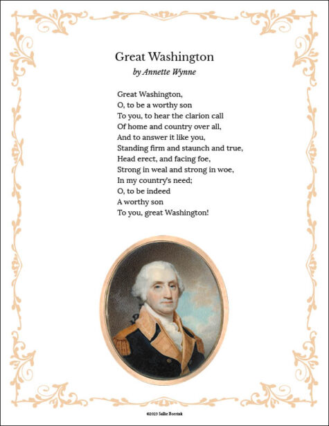
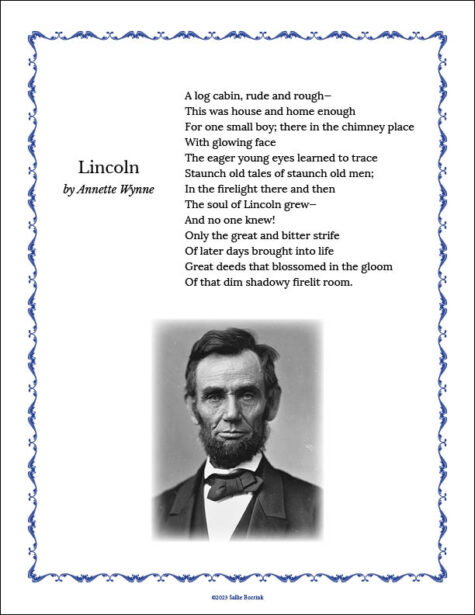
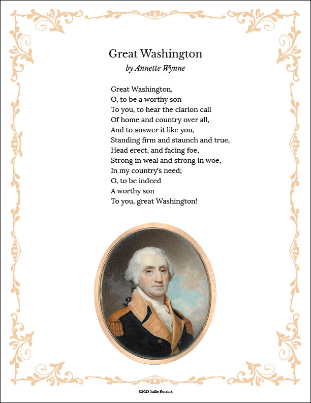
Poetry – Read and discuss a poem about Washington such as:
- “Great Washington” by Annette Wynne
- “Washington’s Birthday” by Margaret E. Sangster
- “Battle of Trenton” by Anonymous
Writing – Use one or more pages from the Unit Study Activity Pack to complete a grade-level appropriate writing project such as:
- biography
- letter
- newspaper article
- original story
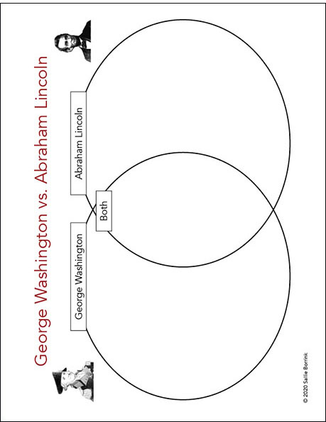
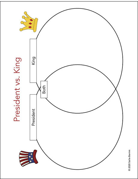
Venn Diagram – Use a Venn Diagram to compare Washington with another U.S. President of your choosing.
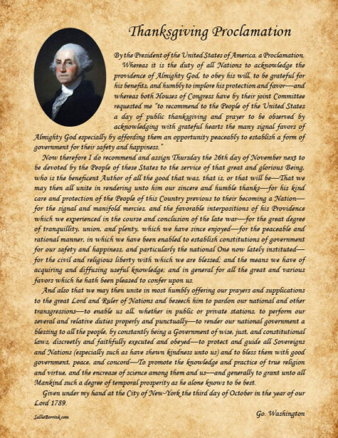
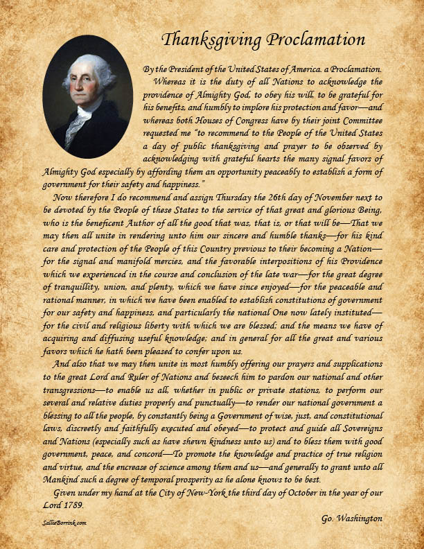
Thanksgiving Proclamation – Read and discuss Washington’s 1789 Thanksgiving Proclamation.
Reading Response – Complete a Story Map or a Story Web after reading a book about George Washington.
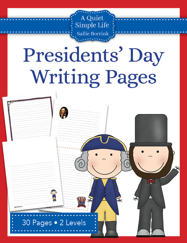
Creative Writing – Use the Washington-themed pages in the Presidents’ Day Writing Pages to write about George Washington.
Timeline – Construct a timeline of the most important events in Washington’s life.
More America-Themed Printables
If your child enjoys learning with printables, then don’t miss the related America-themed sections of my shop: