


Printable Map Bundles for Kids
Make geography come alive with these printable map bundles designed for all ages of students! This collection features a variety of blank maps to help children build geography skills, learn about U.S. states and capitals, explore continents, and discover the world. Perfect for unit studies, relaxed homeschooling, classroom centers, or hands-on social studies lessons!
Choose from:
- 50 Blank Printable U.S. State Maps (includes Washington, D.C.)
- Blank Printable Continent Map Set – 7 Continents plus World Map
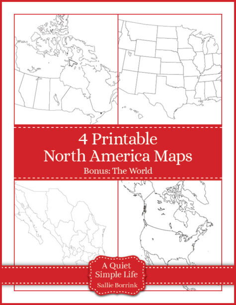
- Blank Printable North America Map Set – 4 Maps plus World Map
All resources are print-and-go—simply select the maps you need and start exploring geography together!
Great for: U.S. state studies, continent and country projects, social studies, geography skills, and classroom activities.
Showing all 3 results