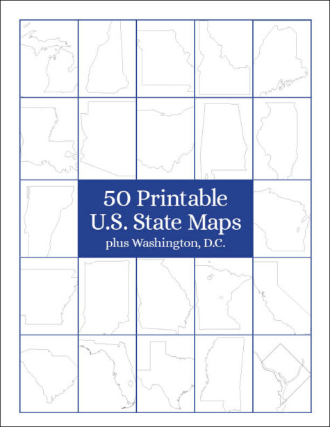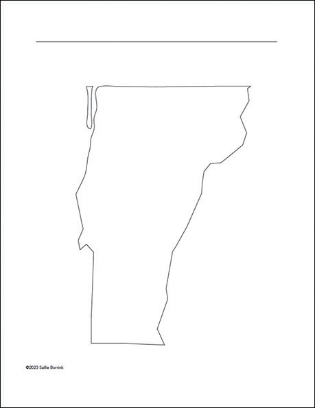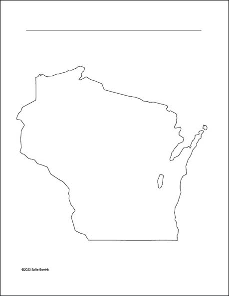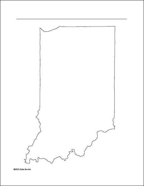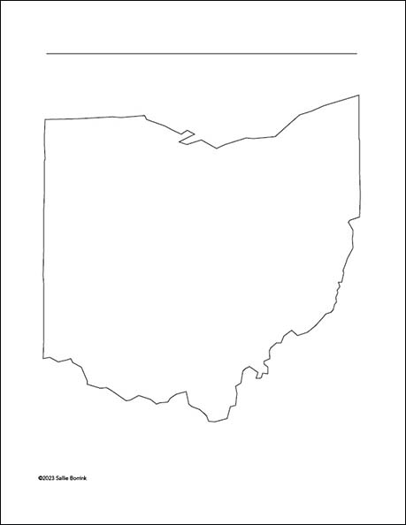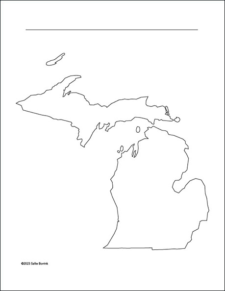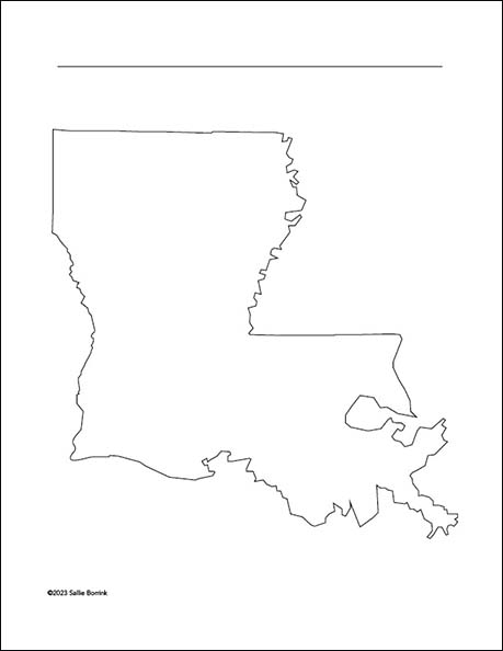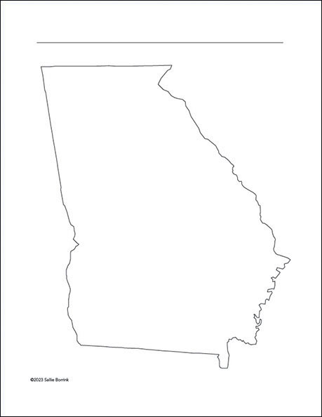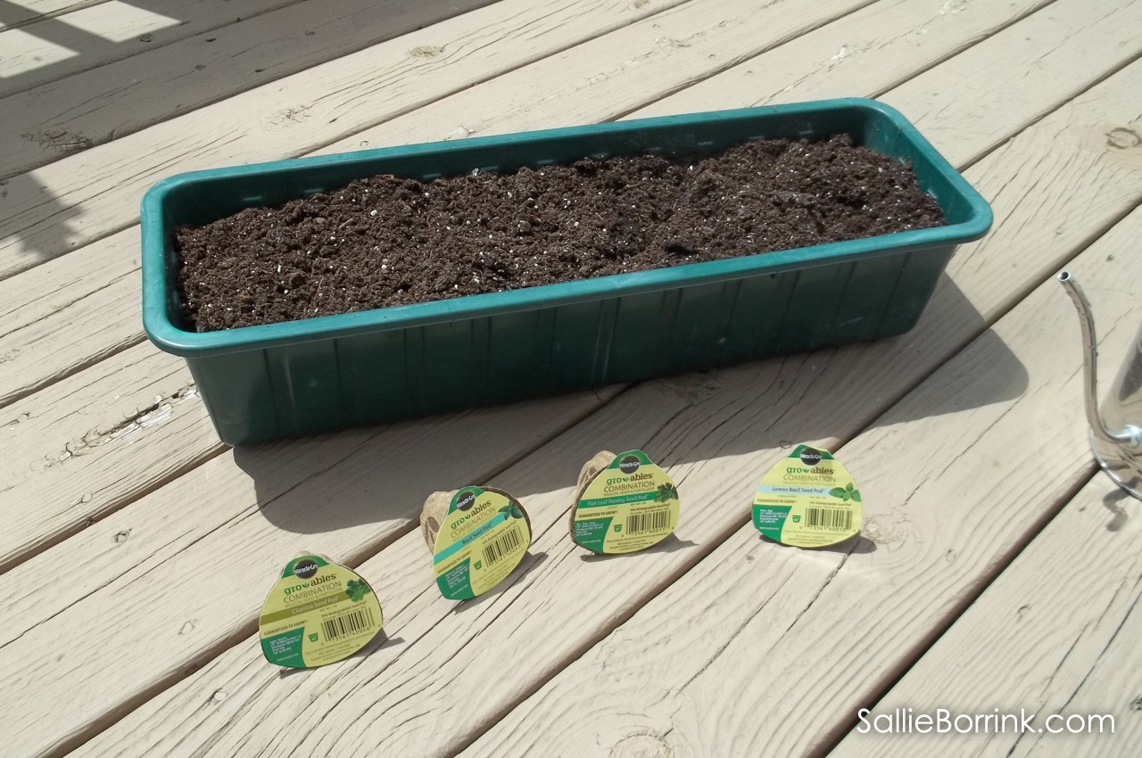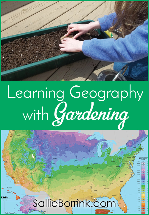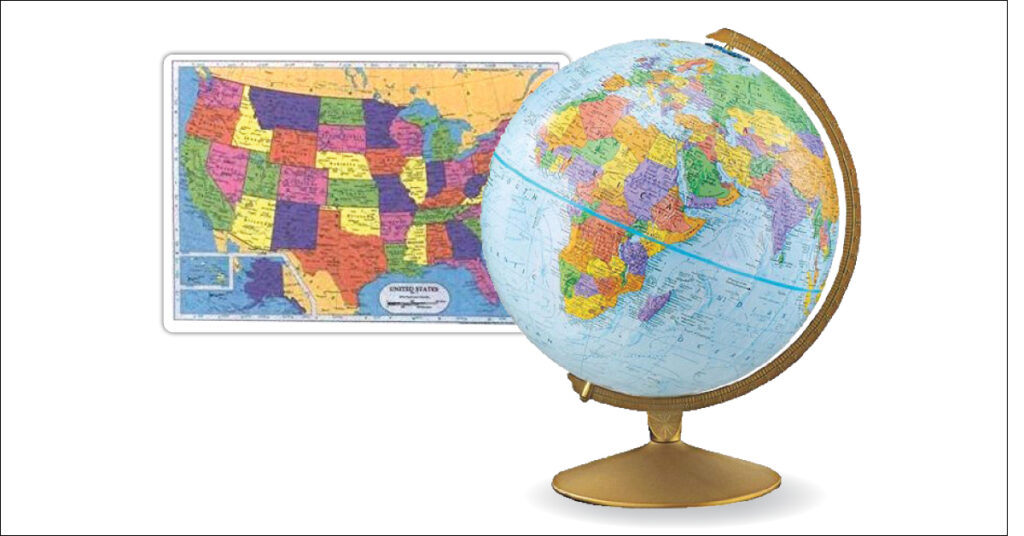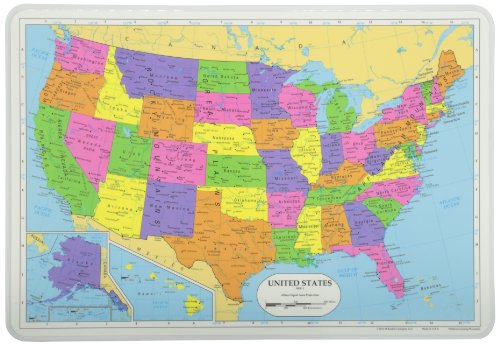


I’ve created this collection of 50 Printable U.S. State Maps plus Washington, D.C. to be a handy tool for homeschooling families. These maps can be used over and over again with all kinds of geography, history, and literature units. Each map includes a title line for accurately labeling the content displayed.
All of the states are available individually, but the savings is significant when you purchase the entire set. If you have The Lifetime Pass, you can download the easy-to-use maps with your personal coupon code.
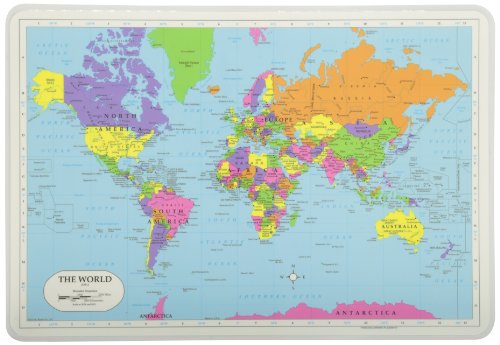
I’ve included a sampling of the maps below. You can see all 51 of them in my shop under Maps.